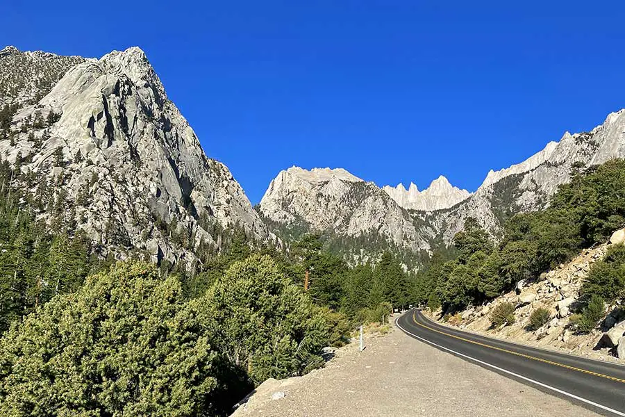
California is home to many impressive natural wonders, including massive granite cliffs, enormous trees, and coastlines that stretch for hundreds of miles. However, the crown jewel of California is Mount Whitney, the tallest mountain in the lower 48 States. Visitors looking to catch a glimpse of this monolith might wonder, can you drive to the top of Mount Whitney?
There are no roads that go to the summit of Mount Whitney. However, visitors can drive about halfway up the mountain in about 20 minutes from Lone Pine, California. The road gives visitors access to sweeping views of the steep and stunning mountainous terrain surrounding Mount Whitney.
If you are preparing for a visit to the area, this short drive is absolutely worth it, even if you aren’t looking to hike to the top of Mount Whitney. Continue reading for more information about the drive, weather conditions during the winter, and the best time of year to visit.
Is There a Road Up Mount Whitney?
Enjoying the fantastic views from mountain roads like the Mount Washington Auto Road or the Lassen Volcanic National Park Highway is an exciting way to see some of the “higher” points of the country. The trip up Whitney Portal Road at Mount Whitney is another incredible one-of-a-kind drive that allows you to explore another majestic US mountain.
Mount Whitney, which is located in the Sierra Nevada mountains in California, is a spectacular sight. Standing at the height of 14,505 feet, it is the tallest mountain in California and the lower 48 US States.
It’s a favored destination for people looking to hike to the summit or backpack to surrounding national parks. For road trippers, the road leading up to Mount Whitney can provide a stunning sample of the views that the Sierra Nevadas have to offer.
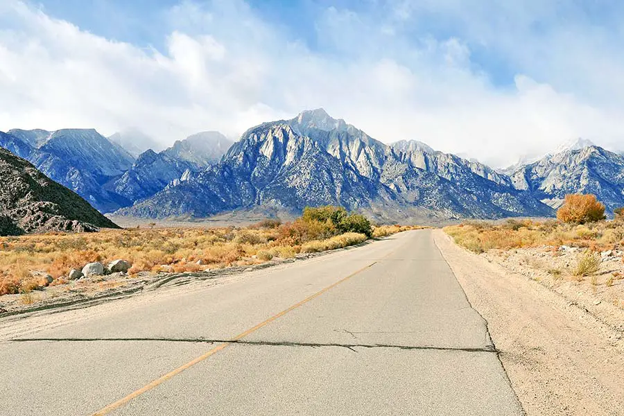
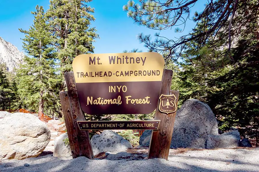
The main road that goes up the side of the mountain is the Whitney Portal Road out of Lone Pine, California. This road is well-maintained and open throughout the year. However, winter weather makes it difficult or impossible to navigate during the winter. The road is a short 13 miles and takes approximately 20 minutes, which makes for a great, quick side trip if you are just passing through. The road ends at the Whitney Portal trailhead at an elevation of about 8,000 feet.
From the Whitney Portal, visitors must hike the rest of the way to reach the summit. The hike is a grueling 22 miles (round trip) with an elevation gain of over 6,100 feet. The hike can take 7-8 hours to the summit (one way). If you are a slow hiker, it is possible to get a two-day pass that allows you to camp on the mountain for one night only.
You don’t need a permit to drive up the road, but all visitors must have a permit to be on the mountain itself. There is plenty of parking for both day hikers and people visiting the Whitney Portal Campground. Most types of vehicles can access the road, but there is no parking for RVs except at designated campsites. Unfortunately, not every campsite is large enough to accommodate a trailer or RV, so visitors should confirm when making their reservation.
Along the way, you will find numerous turnouts and overlooks to take in views of the Sierra Nevada Mountains and the Alabama Hills. Because the drive is so short, there isn’t much need to pack too many supplies (like food and water). You won’t find any gas stations or restaurants along the way. Restrooms are available at the campground at the end of the road.
Is Whitney Portal Road Open Year-Round?
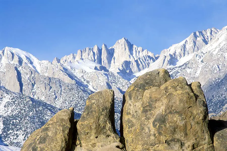
While Whitney Portal Road is never officially barred closed to the public, the weather makes it inaccessible during the winter months. In addition, during the winter months, chains or 4-wheel drive could be required beyond specific elevations (especially within the Alabama Hills, which sits at about 5,000 feet).
As a result, climbers and mountaineers who visit during the winter will often drive their vehicles as far as possible and hike the rest of the way.
As the weather warms, the road becomes clear of most snow and ice during the month of May. However, if you’re not visiting during the peak summer months, visitors are encouraged to call Inyo National Forest Service for road condition information before making the trip.
Is the Drive up Mount Whitney Scary?
Whitney Portal Road is a relatively short drive on a well-paved, two-lane road. The road has some steep and windy sections as the road carries visitors about halfway up the total height of the mountain.
The many sharp switchbacks on Whitney Portal Road could be scary to some drivers. It’s recommended to take your time and enjoy the scenery. If traffic backs up behind you, there are many turnouts that allow you to stop and let faster traffic pass you. These turnouts are a great place to grab some photos of the sweeping views of the mountainous terrain.
Road Trip Answers Fun Fact: The scenery along Whitney Portal Road (specifically in the Alabama Hills) has been used as the backdrop in dozens of Hollywood cowboy films.
Other Posts of Interest
- Can You Drive To The Top Of Mount Baldy In California?
- Is It Hard To Drive in Chicago? (+Best Routes)
- Does US Route 6 Go Coast To Coast?
- Can You Drive To The Top Of Mount San Jacinto? (Palm Springs Tram)
What is the Best Time to Visit Mount Whitney?
The most popular time to hike Mount Whitney is during the summer months when the weather is the warmest. The best time is from July to early October. However, it’s important to note that hikers must have a permit to be on the mountain.
Hiking permits are only available through a lottery system which is difficult to win because of the high demand. It’s common for climbers to wait several years before they can win the lottery for a pass. Permits are not required during the winter months, but the mountain is mostly inaccessible except for experienced mountaineers with the proper gear.
Is There Snow on Mount Whitney Year-Round?
Because of its location within the Sierra Nevada Mountains, Mount Whitney does get a good amount of snow each year.
During the year, 95 percent of the precipitation falls between October and May, when temperatures are cold enough to produce snow. However, the mountain does not experience year-round snow. Trails are usually snow-free from late June until mid-October.
Is Mount Whitney a Volcano?
While a handful of active volcanoes are known to scientists in California, Mount Whitney is not a volcano. Instead, the mountain was formed by a fault block (which angles the earth’s crust up like a cellar door), which explains why one slope (the eastern slope) is significantly steeper than the other.
The fault also created many of the surrounding mountains (including the Alabama Hills), which is why they are all formed from the same granite.
Is Mount Whitney in Death Valley?
Mount Whitney, which straddles the boundary of Sequoia National Park and Inyo National Forest, is not directly located within Death Valley.
The mountain is located just 85 miles to the west of Death Valley. Despite their close proximity, they couldn’t be more different. First is the elevation difference of 14,785 feet since Mount Whitney is the highest point in the Lower 48 US States and Death Valley is the lowest point in the US.
Their weather and climate conditions are also opposite, with Mount Whitney experiencing traditional alpine climates and Death Valley being a dry, hot desert.
Driving the Road to Mount Whitney
Hiking Mount Whitney is a tough challenge. Each year, only about 30,000 people make it to the summit. Because of this, not many people take the time to drive up Whitney Portal Road. However, the small amount of visitors creates the perfect opportunity to add a unique experience to your California road trip.
Even if you aren’t able or prepared to hike California’s tallest mountain, other activities such as hikes on some of the shorter trails, a picnic in the alpine forest, or views of the lower Alabama Hills are totally worth the drive. Unfortunately, there aren’t too many places where you can get these kinds of fantastic views without breaking a sweat.

